By Joy Vance
Bozeman is flanked by the Bridger Range to the north, the Spanish Peaks to the south, and Yellowstone National Park 90 miles down US-191. Its geographic position makes virtually every road leaving the city a candidate for one of Montana's most rewarding drives.
The scenic drives Bozeman MT residents rely on range from paved canyon highways to gravel forest service roads that most visitors never find, and this guide covers the ones worth knowing by name.
Key Takeaways
- Gallatin Canyon: US-191 south follows the Gallatin River through one of Montana's most dramatic canyon corridors toward Yellowstone.
- Bridger Canyon Road: Montana Highway 86 north delivers mountain and valley views that change character with every season.
- Hyalite Canyon: A paved forest service road south of town leads to a reservoir and trailhead network inside the Gallatin National Forest.
- Madison Valley: Highway 287 west connects Bozeman to the Madison River corridor and some of the most open ranch landscape in southwest Montana.
Gallatin Canyon: US-191 South Toward Yellowstone
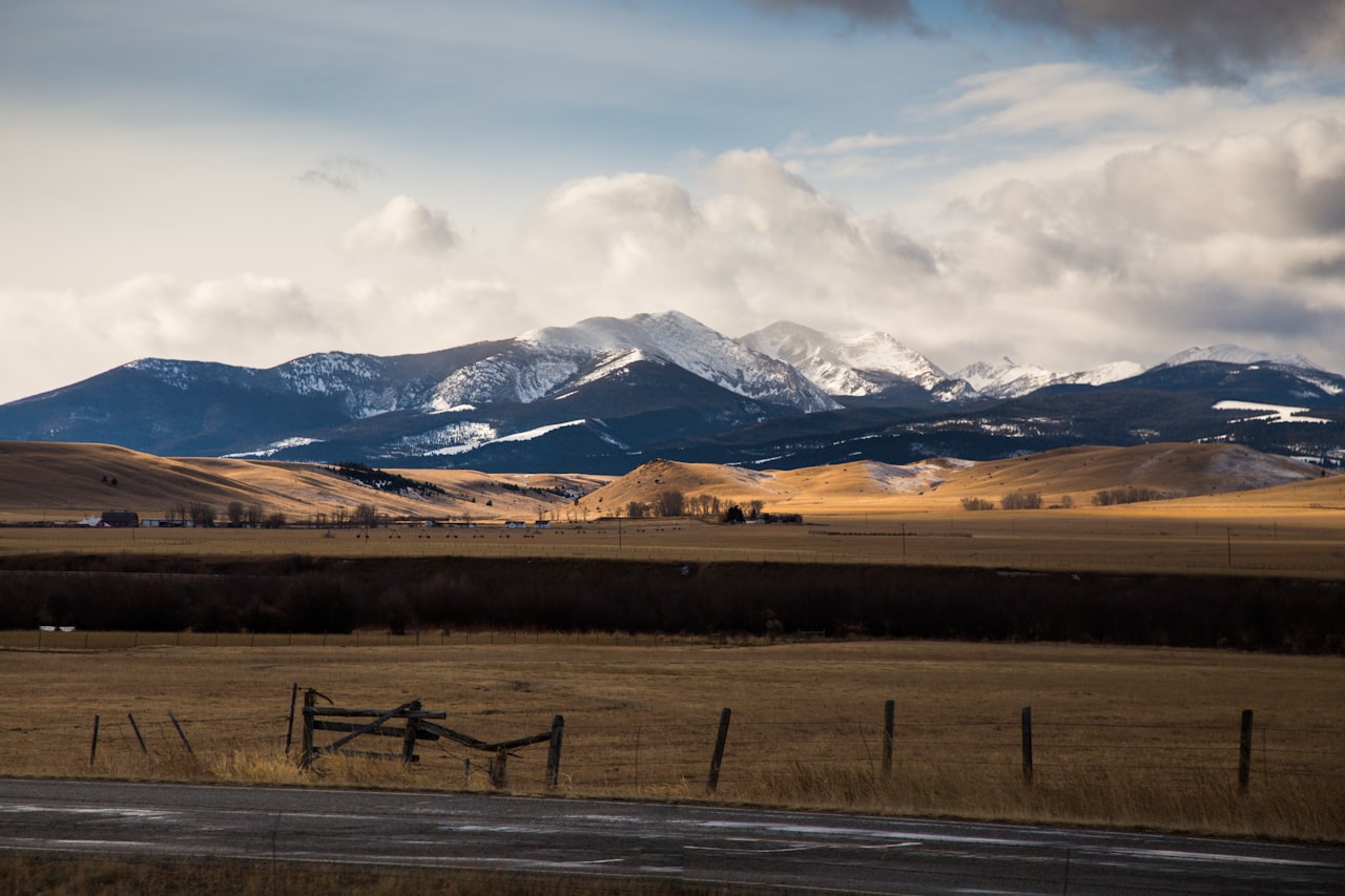
US-191 south enters Gallatin Canyon within 15 miles of downtown and follows the Gallatin River through a progressively narrowing limestone corridor for roughly 50 miles before opening into the broad meadows near Big Sky.
What to Stop For Along US-191 South
- Gallatin River pullouts: Signed fishing access points provide up-close views of blue-ribbon trout water throughout the canyon.
- Greek Creek and Moose Creek Flats: Wide spots where the terrain opens briefly, offering meadow views and reliable moose and elk sightings in early morning and evening.
- Storm Castle and Garnet Mountain trailheads: Named summits visible from the highway that give the drive an identifiable topographic vocabulary.
The scenic drives Bozeman MT offers don't get more geographically dramatic than this canyon corridor, and the fact that it begins within 15 miles of downtown is something residents never entirely take for granted.
Bridger Canyon Road: The Northern Mountain Corridor
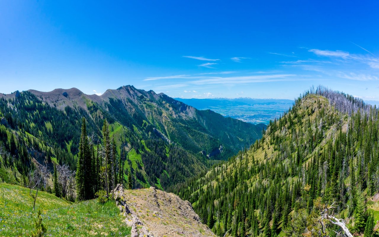
Montana Highway 86 leaves Bozeman heading northeast, climbs through a canyon flanked by the Bridger Range and the Bangtail Mountain foothills, and delivers continuous mountain and valley views that feel genuinely remote within minutes of leaving the city.
Stops and Viewpoints Along Bridger Canyon Road
- Bridger Bowl overlook: The upper parking area, accessible year-round, delivers a panoramic view of the Gallatin Valley floor and the Madison and Tobacco Root ranges to the south.
- Fairy Lake Road: A gravel forest service road accessing Fairy Lake and the Bridger ridgeline, one of the area's most rewarding and least crowded half-day excursions.
- Ross Pass viewpoint: An informal pullout that frames the Bridger Range's eastern escarpment in a composition that rewards photographers at any time of day.
The canyon's open hillsides support mule deer, white-tailed deer, and occasional black bear sightings, particularly in morning and evening hours on the upper sections.
Hyalite Canyon and the Madison Valley Loop
Hyalite Canyon Road heads due south from Bozeman, climbs through the Gallatin National Forest, and reaches Hyalite Reservoir at 6,700 feet.
Key Stops on the Hyalite and Madison Routes
- Hyalite Reservoir: A calm-water destination for kayaking and shoreline walking, with the Gallatin Range reflected across the surface on still mornings.
- Palisade Falls trailhead: A short paved trail above the reservoir leads to a 90-foot waterfall accessible from late spring through early fall.
- Ennis and the Madison River: Highway 287 reaches Ennis in approximately 90 minutes, passing through open ranch terrain that is the visual opposite of the canyon drives closer to town.
Together, these two routes extend the scenic drives Bozeman MT residents use for weekend exploration well beyond the canyon corridors closest to town, adding elevation, open sky, and historical depth to the area's road network.
FAQs
Are Bozeman's scenic drives accessible year-round?
US-191 and Bridger Canyon Road are maintained year-round and navigable in winter with appropriate tires, and Hyalite Canyon Road is plowed to the reservoir for ice climbing and snowshoeing access. Gravel forest service roads are typically open from late May through October, depending on snowpack.
What is the best season to drive the scenic routes around Bozeman?
September and early October deliver the most visually dramatic conditions, with golden larch and aspen in the canyon corridors, low-angle light across the valley floors, and wildlife in active pre-winter movement.
Do these scenic drives connect to Yellowstone National Park?
US-191 connects directly to Yellowstone's West Yellowstone entrance, approximately 90 miles from downtown Bozeman. The drive through Gallatin Canyon to the park boundary is itself one of the most scenic national park approaches in the country, making the Yellowstone day trip from Bozeman a genuinely exceptional excursion.
Contact Joy Vance Today
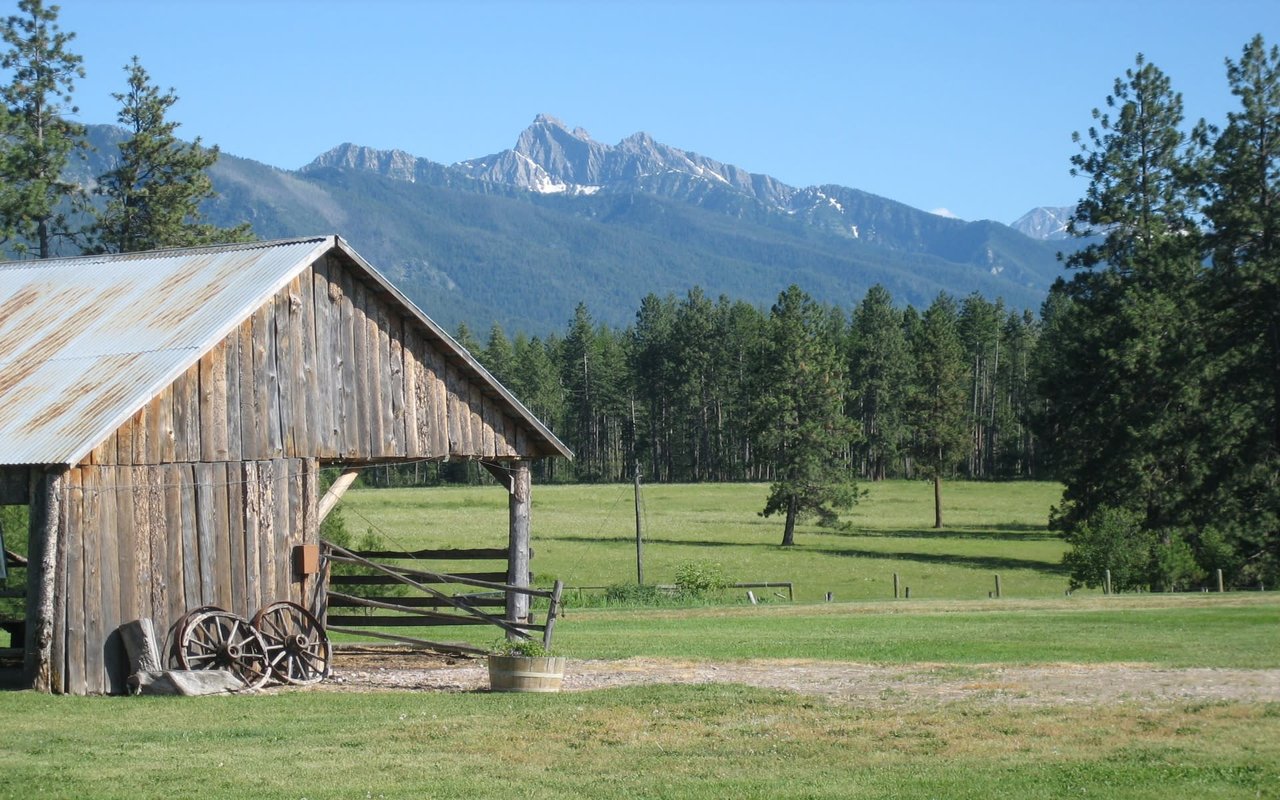
Bozeman's landscape is the foundation of its real estate market, and the properties that deliver the most direct access to the Gallatin Canyon corridor, the Bridger Range, and the Hyalite backcountry are the ones that hold value across every market cycle.
Reach out to me, Joy Vance, for the best representation in finding the Bozeman property that puts the region’s scenic drives directly outside your front door.
Recommended reading: The Best Hiking Trails Accessible from Bozeman's Luxury Neighborhoods
Reach out to me, Joy Vance, for the best representation in finding the Bozeman property that puts the region’s scenic drives directly outside your front door.
Recommended reading: The Best Hiking Trails Accessible from Bozeman's Luxury Neighborhoods